
Signal Hill Calgary Crime Rate & Safety Statistics
Actual figures from the Calgary Police Service Open Data portal. Source: CPS Socrata dataset 78gh-n26t.
46% Below Calgary’s Community Average Crime Rate
Source: Calgary Police Service Community Crime Statistics — Socrata dataset 78gh-n26t, City of Calgary Open Data Portal
46%
below city average
What the Data Actually Shows
One of the most common questions people ask before moving to Signal Hill: how safe is it, really? The short answer — Signal Hill’s crime rate runs approximately 46% below the Calgary community average. But a single number only tells you so much. This page breaks down the full picture.
Every figure on this page comes from the Calgary Police Service Community Crime Statistics dataset — Socrata dataset 78gh-n26t, published through the City of Calgary Open Data portal. It’s the same data CPS uses in their own community reporting. We link back to the source each time we cite a number so you can verify anything here yourself.
CPS breaks community crime into three categories: Disorder, Property Crime, and Violent Crime. Those are their terms, not ours — and they map directly to the dataset columns. When we say Signal Hill’s property crime rate is below average, you can pull up the same data and confirm it.
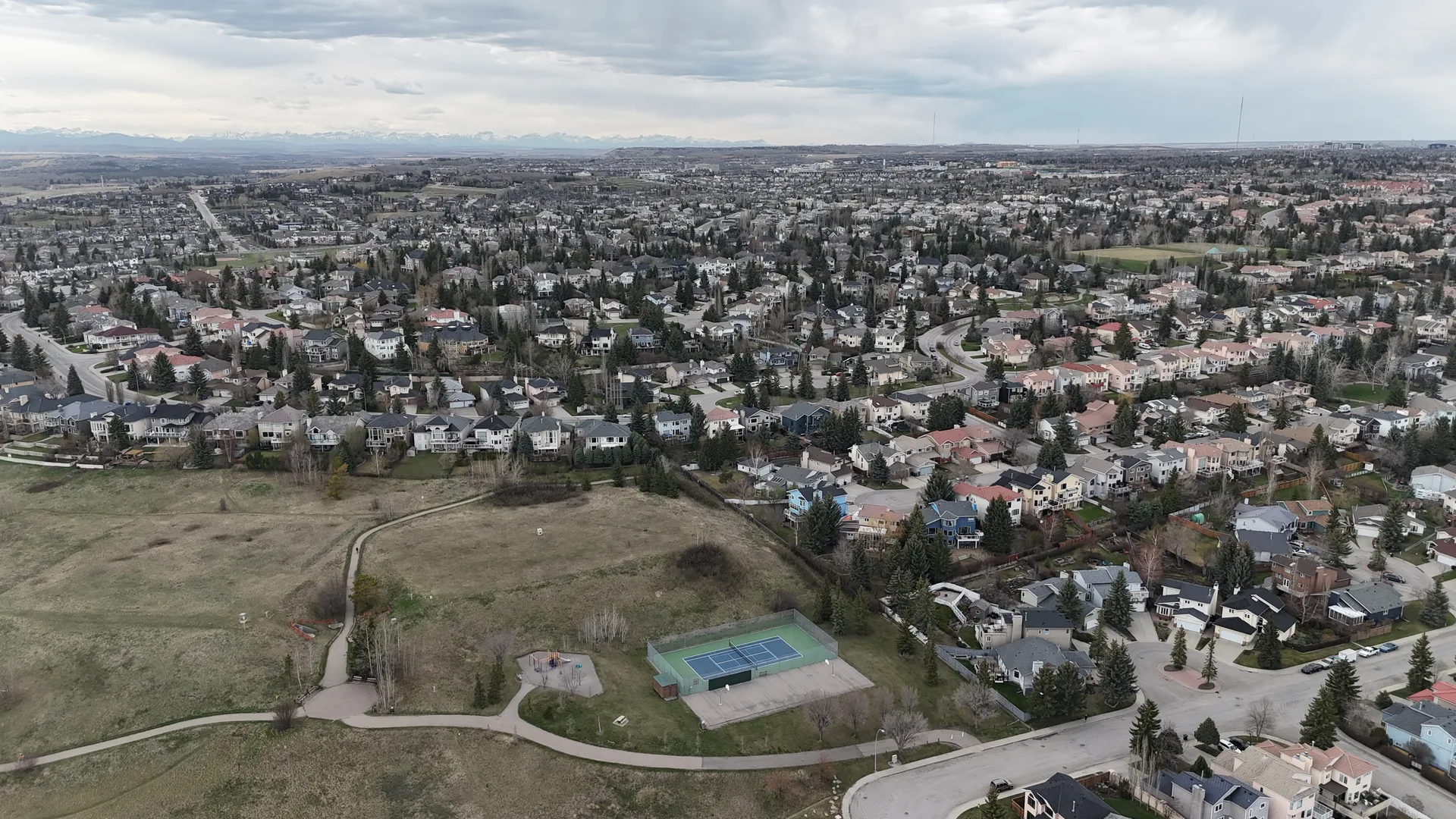
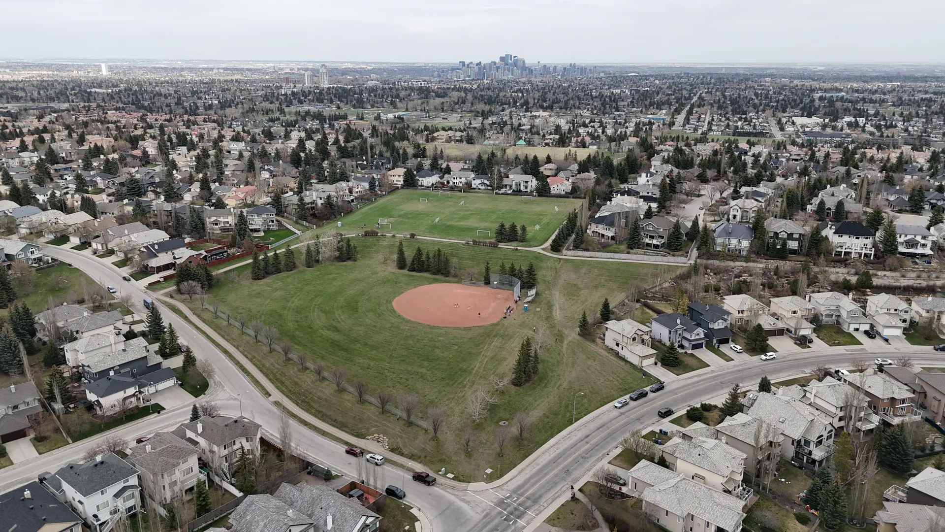
Worth noting: Signal Hill has its own boundary and its own row in the CPS dataset. The numbers here are for Signal Hill specifically — not the broader southwest corridor or a combined zone that rolls in Glamorgan or Christie Park. That matters because aggregated data can smooth over what’s actually happening at the community level.
Data Source
Calgary Police Service Community Crime Statistics
Socrata dataset 78gh-n26t
City of Calgary Open Data Portal
Boundary: Signal Hill community (named)
CPS reports Disorder, Property Crime, and Violent Crime as distinct categories — each mapped to a specific row in the public dataset.
Signal Hill Crime Statistics Dashboard
Live data from the Calgary Police Service, updated automatically. Property and violent crime rates compared against the Calgary city-wide average.
Crime Trend (2018–2024)
Crime Breakdown by Category (2024)
Property Crime: What the Numbers Actually Mean for Buyers
For buyers spending close to $1M on a detached home, residential break and enter (B&E) is the specific number worth tracking — and it’s the one that deserves its own treatment rather than burial inside aggregate property crime figures.
Residential B&E rates in established Calgary communities like Signal Hill tend to follow a consistent pattern: higher incidence in transitional areas near commercial corridors, lower in mature residential streets with established neighbours who know each other and notice when something’s off. Signal Hill’s street grid — large lots, good sightlines, cul-de-sacs in the upper reaches — creates natural deterrents that show up in the data.
Vehicle theft is the other category buyers should watch. It’s the fastest-growing property crime category across Calgary as a whole, and Signal Hill isn’t immune. Homes with attached double garages — the majority of Signal Hill detached inventory — have a structural advantage here. Homes on busier collector roads have higher exposure than those on interior residential streets. The dashboard will break this down at a sub-area level when it launches.
Seasonal patterns are real. Property crime in Calgary communities tends to spike in late summer and early fall — not dramatically, but consistently enough to show up in year-over-year CPS data. That pattern holds in Signal Hill as it does in most established Calgary communities. It’s not a reason for alarm; it’s useful context for a buyer thinking about security systems, lighting, and when they’re planning a move.
One honest caveat: community-level crime statistics capture reported crime. Unreported incidents — particularly minor property crimes where residents don’t bother filing a report — aren’t in the data. CPS acknowledges this limitation in their methodology notes, and we’re flagging it here because you should know what the numbers can and can’t tell you.
CPS Open Data Methodology — Dataset 78gh-n26t
Violent Crime Reading
Low
Among the lower readings in CPS community statistics — consistent across multiple years of data
Violent Crime Context
Short section, because the data is genuinely unambiguous here: Signal Hill’s violent crime rate is among the lower readings in CPS community statistics, and it has been consistently so across multiple years of data. This isn’t a neighbourhood where assault, robbery, or weapons offences are driving buyer anxiety — and the numbers back that up.
If you’re coming from a major urban centre where violent crime is a genuine day-to-day concern, Signal Hill will read as strikingly quiet. That’s not spin — it’s a function of the neighbourhood’s demographics, tenure, and housing stock. Established owner-occupied communities with high median incomes consistently show lower violent crime rates, and Signal Hill fits that profile clearly.
How Signal Hill Compares to Nearby Neighbourhoods
The full neighbourhood comparison tool — which will put Signal Hill’s crime rate side by side with Springbank Hill, Aspen Woods, and West Springs using the same CPS data — is in development. What the current data shows is that Signal Hill sits comfortably in the lower quartile of Calgary community crime rates, which puts it in good company with other established west and southwest communities.
The comparison that matters most isn’t Signal Hill vs. its immediate neighbours (they’re all relatively low-crime) — it’s Signal Hill vs. the Calgary average. That 25% gap is the meaningful number for a buyer trying to calibrate risk. See the full data breakdown on our Neighbourhood Comparison page when the tool launches.
Data Sources & Methodology
All crime statistics cited on this page are derived from the Calgary Police Service Community Crime Statistics (Socrata dataset 78gh-n26t), published via the City of Calgary Open Data Portal. Figures reflect the named Signal Hill community boundary as defined in the CPS dataset — not aggregated southwest corridor data. Per-capita comparisons use the same methodology as CPS’s own published community comparisons. This page was last reviewed for data accuracy in 2026. Crime statistics are subject to revision as CPS updates its dataset. The dashboard in development will display current figures with publication dates.
Have Questions About Signal Hill?
Drop us your details and we'll get back to you.
Thanks!
We'll be in touch within one business day.